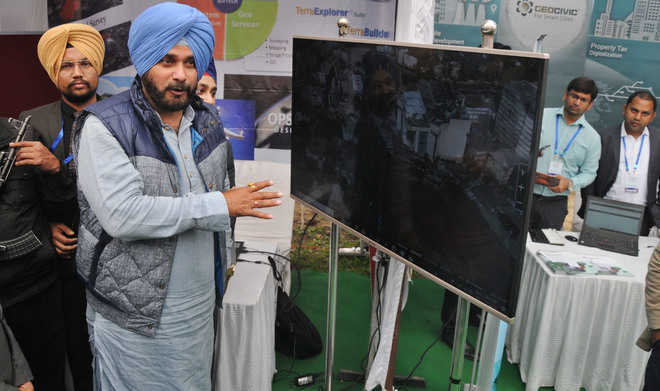
Ludhiana, February 23: To keep a check on unauthorised constructions and encroachments in the state, the state government will soon sign a pact with the Punjab Remote Sensing Centre, Ludhiana.
Local Bodies Minister Navjot Singh Sidhu today claimed that the remote-sensing technology would not only help in mapping all illegal constructions in the state, but it would also generate huge revenue through collection of all types of taxes from such illegal buildings that usually go uncheck in the absence of a strong mechanism.
Sidhu was in the city to attend the “National Conference on Role of Geospatial Technologies to Bridge the Rural and Urban Divide” being organised by the centre and the Indian Society of Geomatics, Ludhiana chapter.
Addressing the gathering, the minister said he was committed to make Punjab ahead of others and sought the support of the scientists.He asked the centre officials to send a proposal, which he would discuss with the CMso that an MoU could be signed.
Source Tribune India
Discussions
Discussions
